NATIONAL PARK HUASCARÁN – PASTORURI GLACIER
Glaciers and lakes in the mountaineers paradise
Huaraz • Recuay • Tica pampa • Catac • Quebrada de Pachacoto • Lake Patococha • Geyser llana Puma • Lake Pumapashimin • Puya Raimondi • Pinturas murales • Glacier Pastoruri • Huaraz
1 D
Huascarán National Park (Spanish: Parque Nacional Huascarán) is a peruvian national park that comprises most of the mountain range known as Cordillera Blanca (the world’s highest tropical mountain range) which is part of the central andes, in the region of Ancash. The park covers an area of 340.000 ha (ca. 3.400 km2) and is managed by the Peruvian Network of Protected Natural Areas: SERNANP (Servicio Nacional de Áreas Naturales Protegidas). It was designated as a World Heritage Site in 1985 by UNESCO, is also a well-known mountaineering spot and harbors a unique biodiversity with plant species such as the queen of the andes, trees of the genera Polylepis and Buddleja, and animals such as spectacled bears, condors, vicunas and tarucas.
History
Official efforts to protect this area started in 1960, when Senator Augusto Guzmán Robles presented a bill to the peruvian congress for the creation of Huascarán National Park. In 1963, the Forestry and Hunting Service (Servicio Forestal y de Caza) presented a preliminary project for the delimitation of the Cordillera Blanca National Park, covering an area of 321,000 hectares. On february 18th, 1966 a government resolution prohibiting the logging and hunting of native species in the area of the Cordillera Blanca was issued. Later that year, the Patronage of Huascarán National Park was formed in Yungay. In 1967, Curry Slaymaker and Joel Albrecht, Peace Corps volunteers, formulated delimitation proposal on an area of 85,000 hectares; and simultaneously, the Forest Regional Service of Huaraz established the vicuña and queen of the andes surveillance zone for an area of approximately 10,000 hectares. Finally, on july 1st, 1975 Huascarán National Park was created by decree No. 0622-75-AG, with an extension of 340 000 hectares.
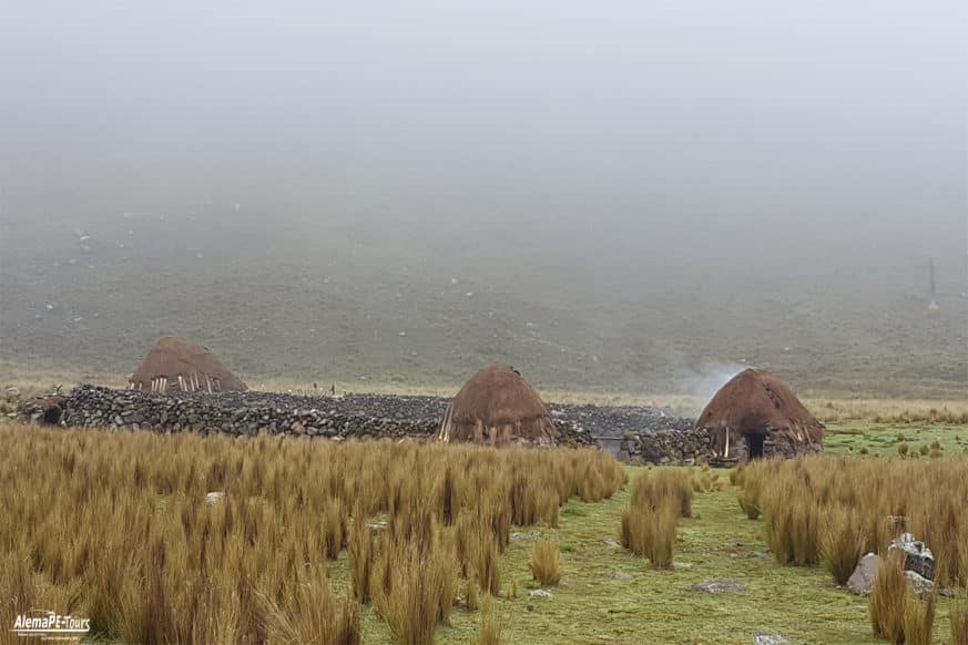
Definite delimitation of Huascarán National Park was possible through the reversion of land to state control by means of compensated land expropriation. The park’s boundaries avoided the inclusion of settlements when possible, but several communities continue to raise livestock, although park authorities try to regulate the practice.
In 1977, UNESCO recognized Huascarán National Park as a Biosphere Reserve, which covers the Santa River valley, well beyond the park’s boundaries, encompassing many villages and towns. In 1985 the park was declared a World Heritage Site.
Flora
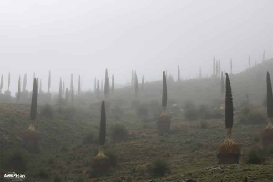
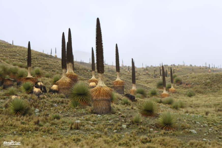
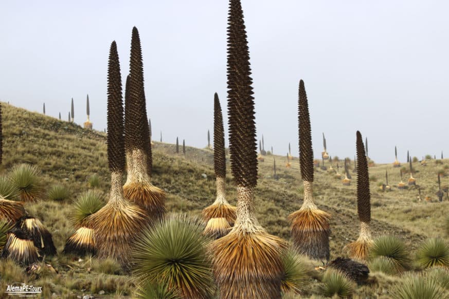
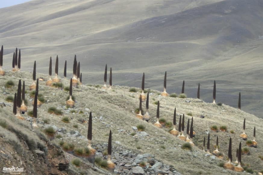
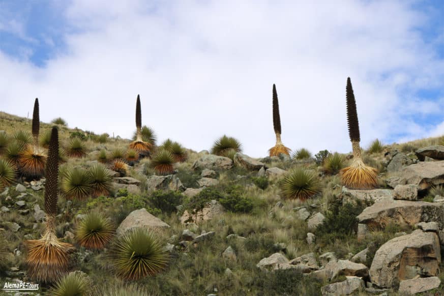
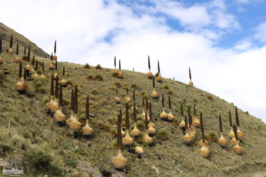
Some 779 plant species have been identified inside the park, being the queen of the andes (Puya raimondii) one of the most representative and an object of conservation. Other plant species present in the park are: Polylepis racemosa, Escallonia resinosa, Alnus acuminata, Senna birostris, Vallea stipularis, Lupinus spp., Vaccinium floribundum, Calamagrostis vicunarum, Festuca dolichophylla, Jarava ichu, Azorella spp., etc.
Fauna
More than 120 bird species have been reported in this area including the andean condor, the torrent duck, the puna tinamou, the brown pintail, the andean crested duck, the giant hummingbird, the yanavico, the white-tufted grebe, the giant coot, the chiguanco thrush and the andean gull.
More than ten species of mammals have been observed in the park, several of them endangered, including the colocolo, the andean mountain cat, the spectacled bear, the taruca deer, the vicuña, the white-tailed deer, the puma, the northern viscacha, the long-tailed weasel, the hog-nosed skunk and the andean fox.
Itinerary
- Departure from Huaraz towards the Pastoruri glacier.
- Grotto San Patricio (stalagmites and stalactites).
- Pato Cocha Lagoon.
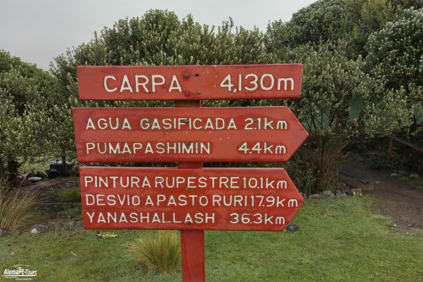
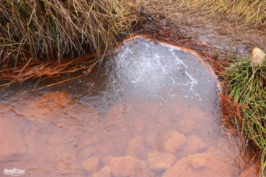
- Puma pampa gasified water.
- Puya Raymondi.
- Pumapashimi Lagoon (7 colors).
- Snowy Pastoruri.
- Lunch in a tourist restaurant.
- Return to Huaraz.
Distance
Huaraz – Pachacoto 39 km of paved road. From this point to the 30Km glacier, dirty road.
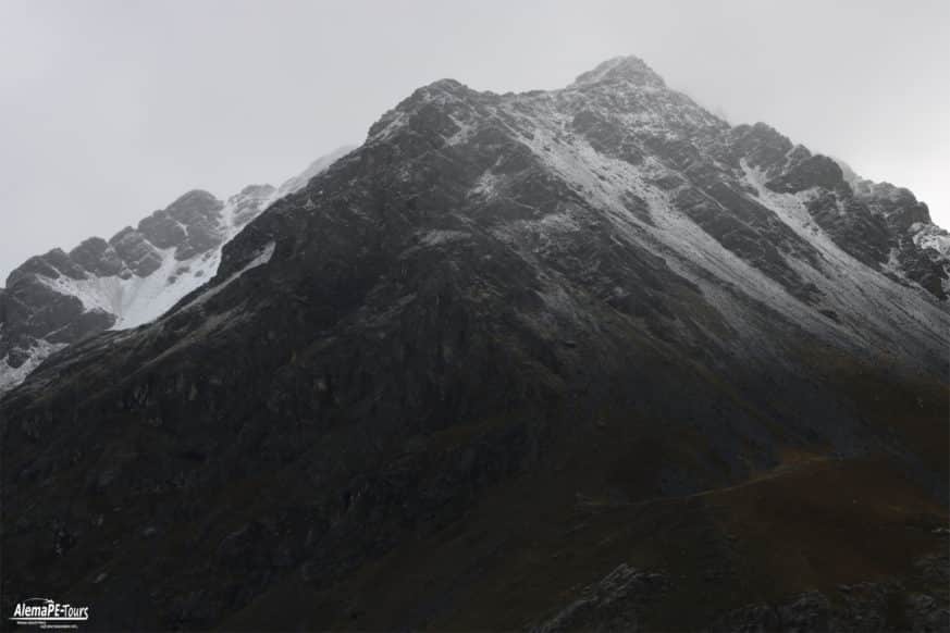
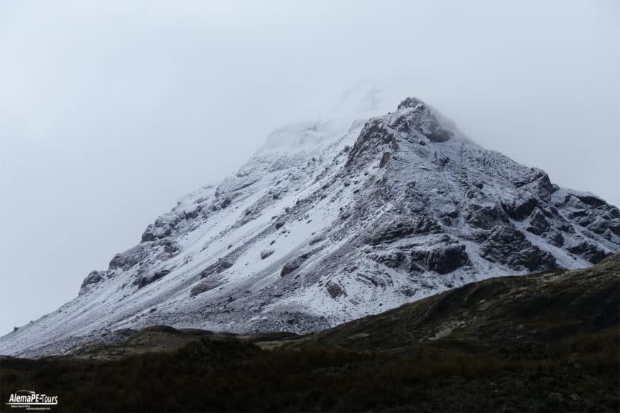
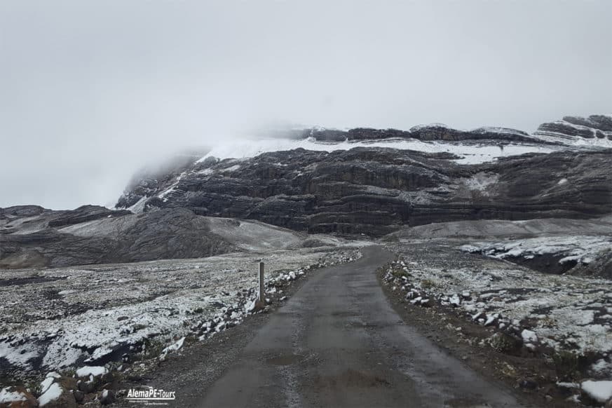
The Pastoruri glacier is a circus glacier, located in the southern part of the Cordillera Blanca, part of the Andes mountain range, in northern Peru in the Ancash region.
Description
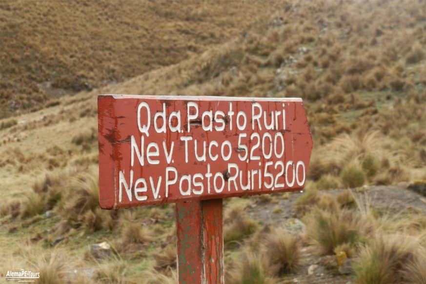
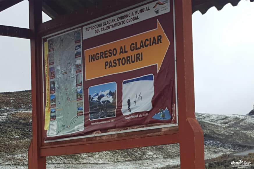
The glacier is about 8 square kilometers (3.1 square miles) in size, and about 4 kilometers (2.5 miles) long with a terrestrial muzzle end. The glacier is retreating quickly. It has lost 22% of its size and 15.5% of its ice mass in the last 30-35 years. Located 70 kilometers south of Huaraz, it is the most emblematic snow of the Cordillera Blanca because of its beauty and tourist attraction, it is part of the Huascarán National Park. Its glacier base is easily accessible, so it is not necessary to have great knowledge of climbing and excellent physical conditions to climb it. Only a good dose of enthusiasm and will is enough to crown its summit (5,200 meters high). But it is possible to crown the summit and climb the glacier only in the month of June on the 29th and 30th of all the years.
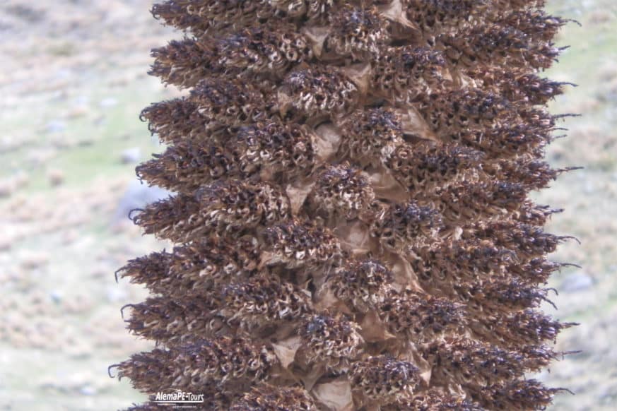
You should take advantage of the trip to the snowy to take a look at the Pumapashimi gas water eye and the Raimondi pudal stand, the largest inflorescence on the planet. Long and thin, the puyas reach up to 10 meters high. Its life span borders 100 years and only bloom at the end of its existence, producing almost 6 million seeds. Also known by the name of titanca, these inflorescences are native to the Andean heights.
Price
Please contact us to get the price of this tour.
Tour-ID
HUA003
Duration
1 D

